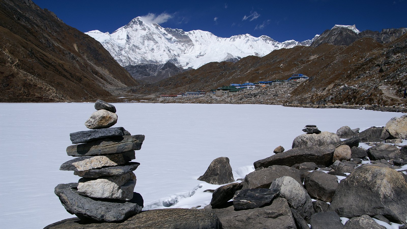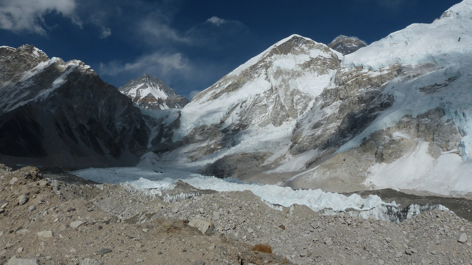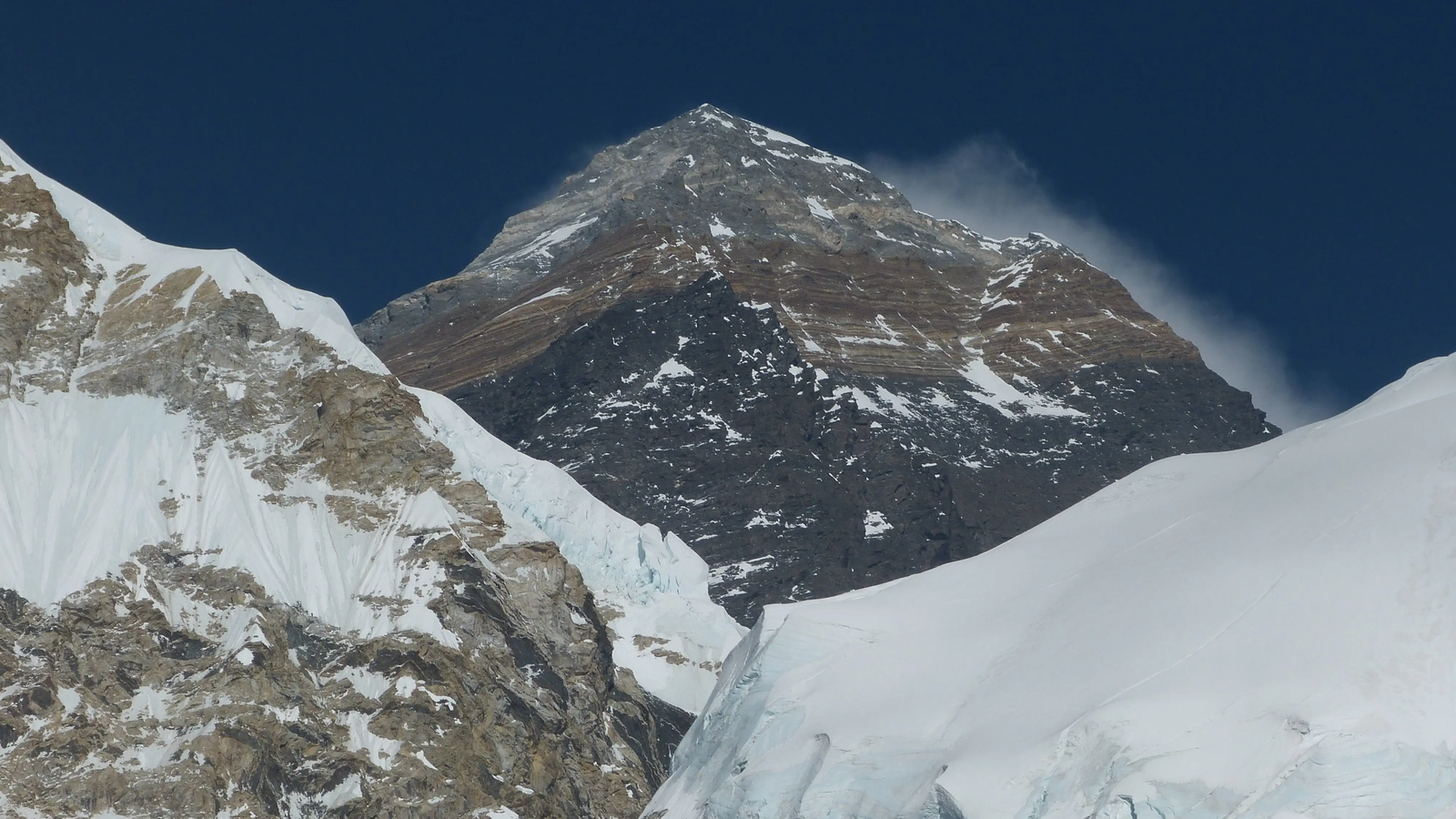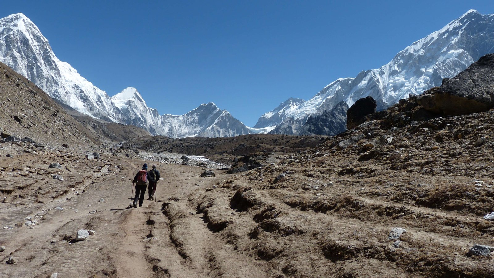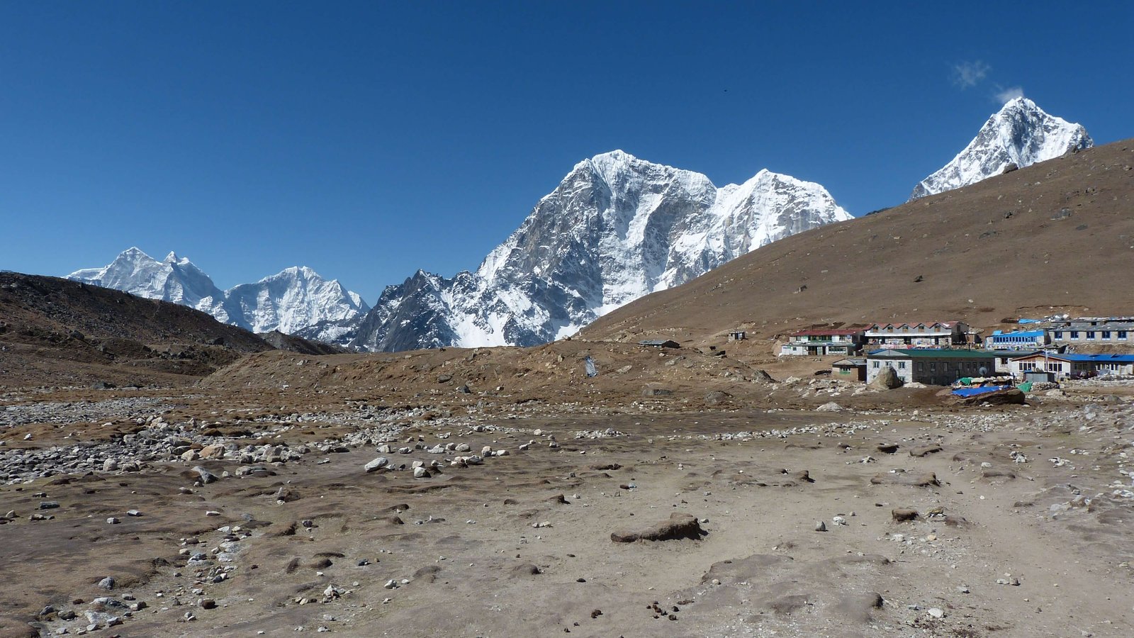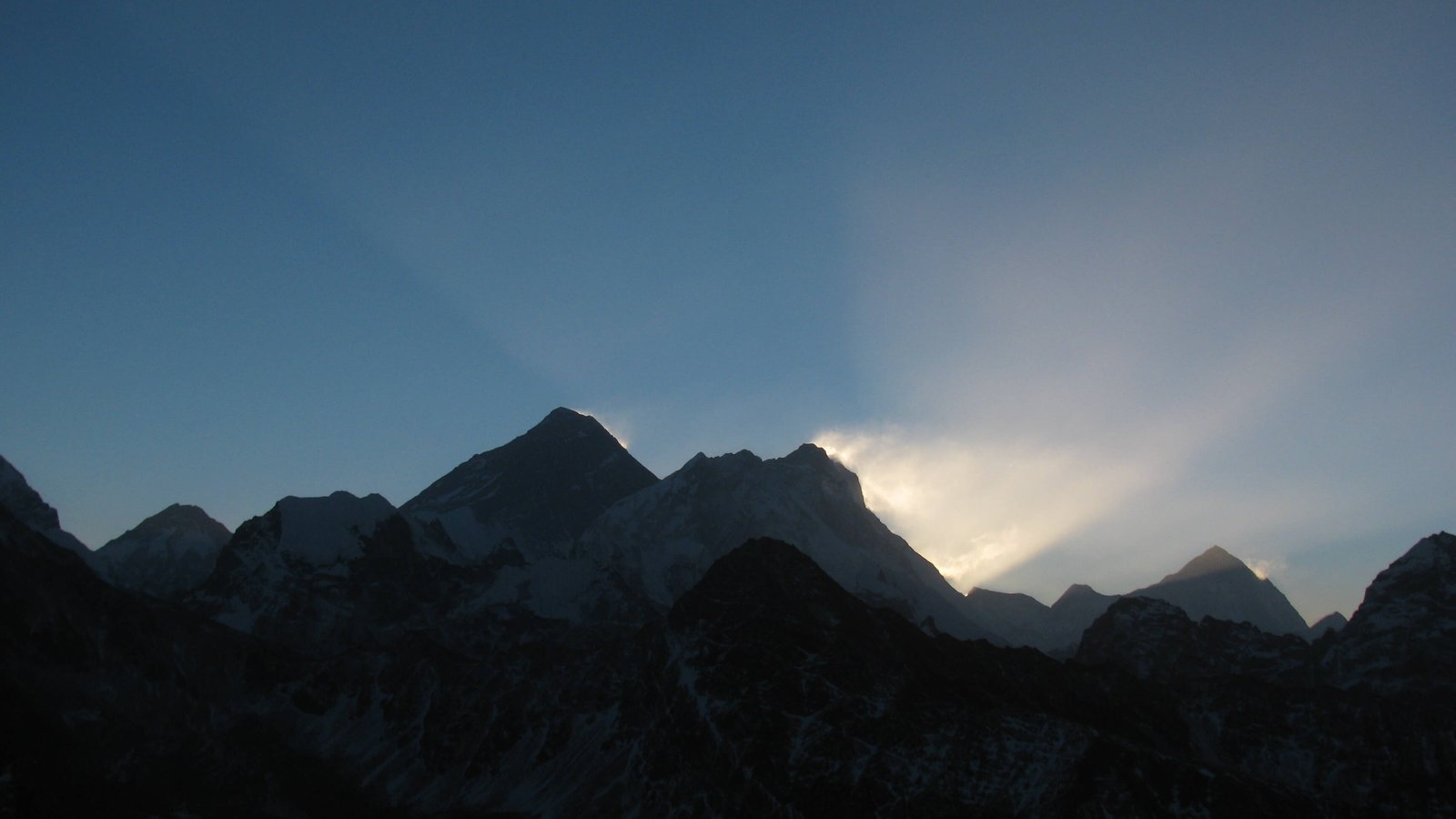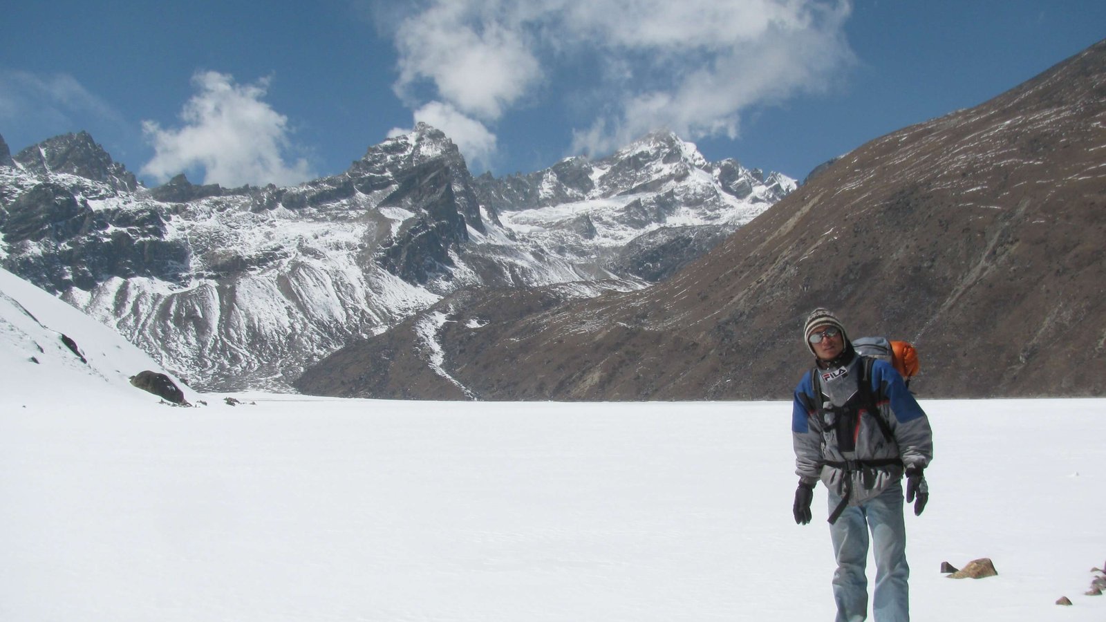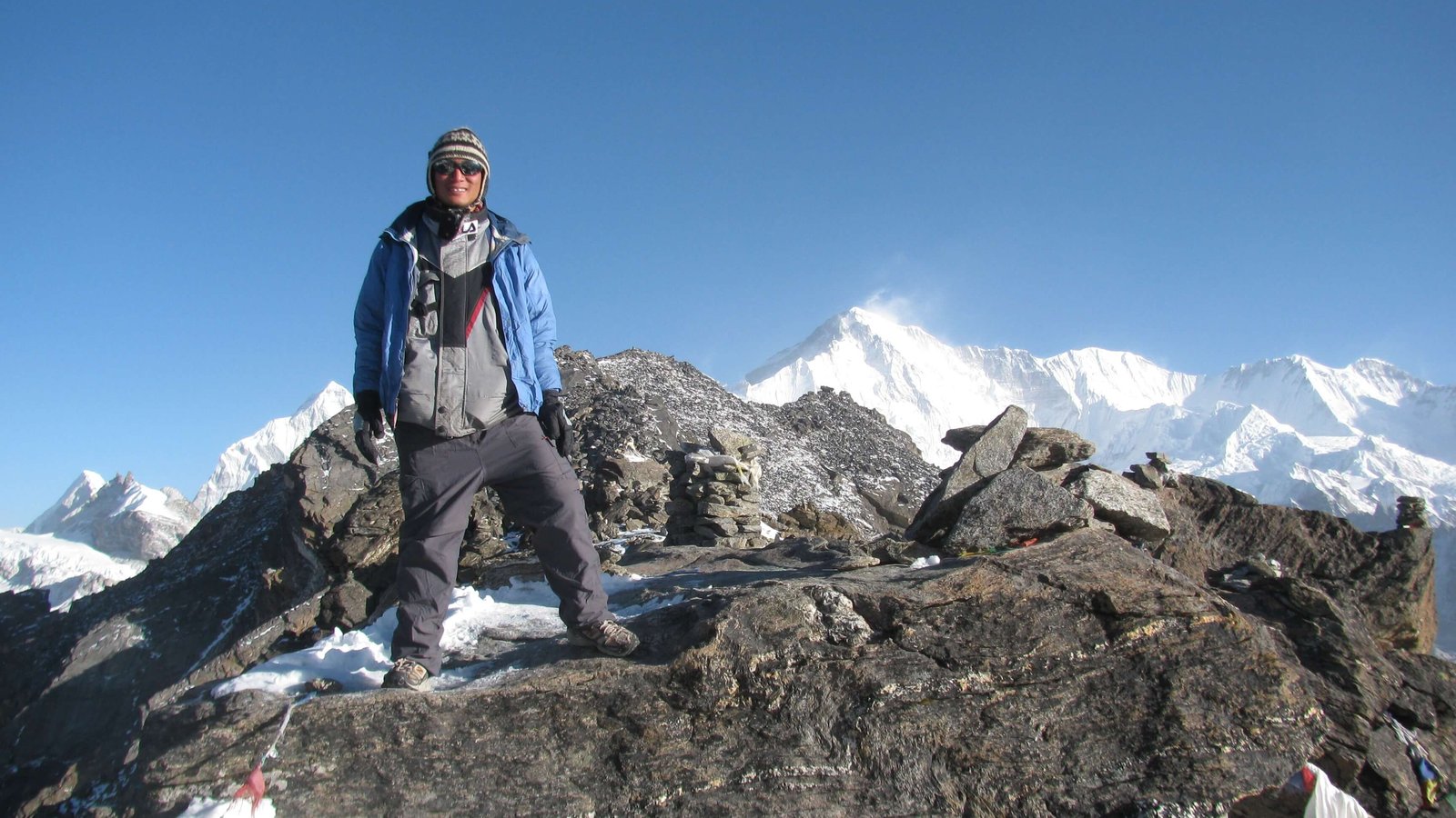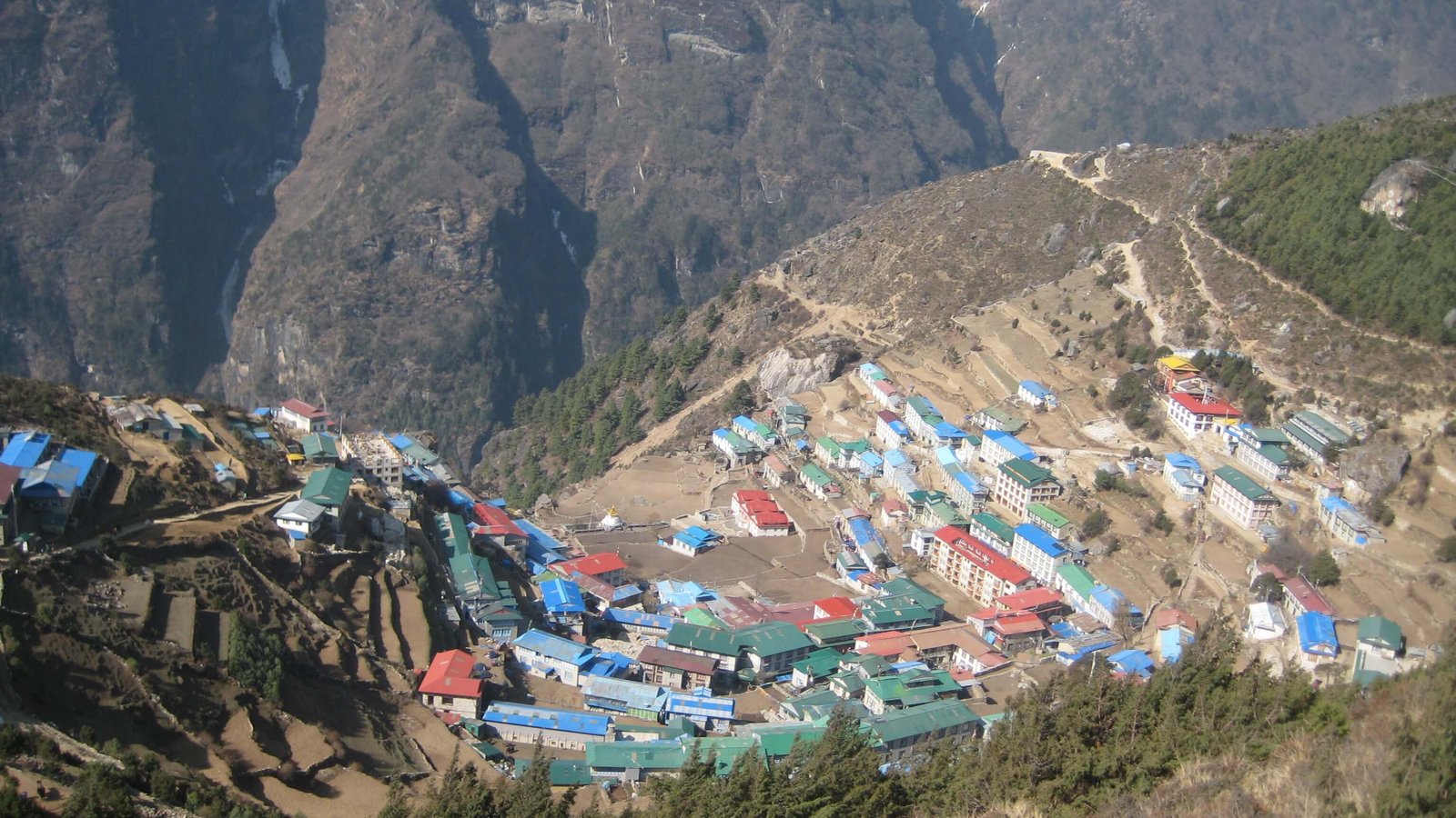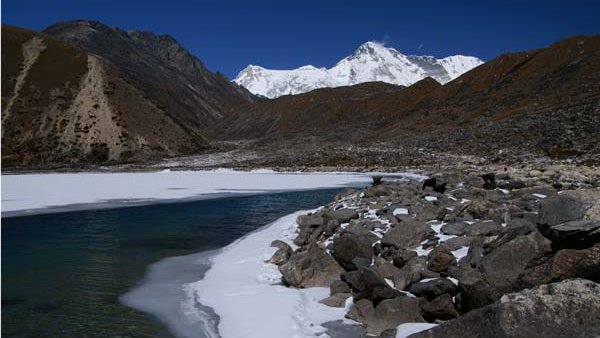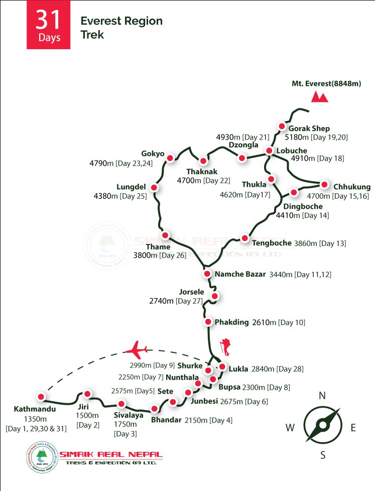

Everest Trekking
Annapurna Trekking
Langtang Trekking
Manaslu Circuit Trek
Kanchenjunga Trek
Makalu Trek
Ganesh Himal Trekking
Upper Mustang Trek
Rara Tal Trekking
Gaurishankar Himal Trek
Great Himalaya Trail
Dhaulagiri Trekking
Dolpo Trek
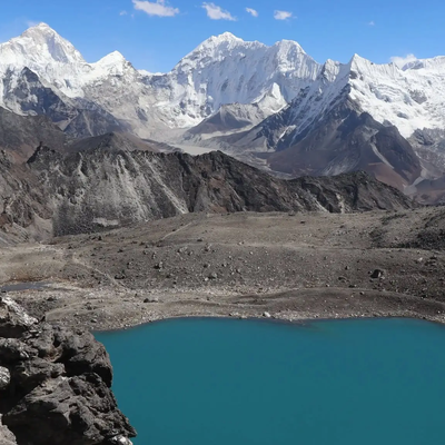
Everest Trekking
View Detail
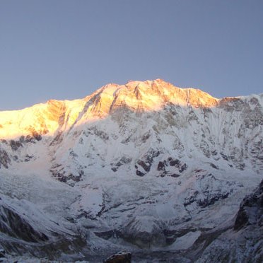
Annapurna Trekking
View Detail
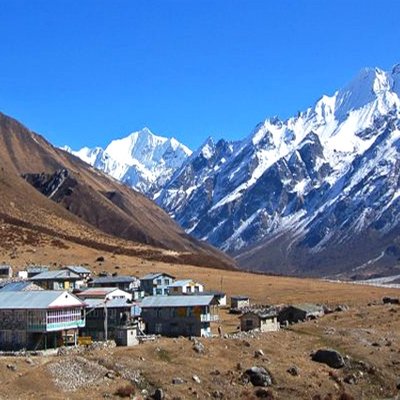
Langtang Trekking
View Detail